Kola Peninsula
Large Russian peninsula inside the Arctic Circle, heavily industrialized.

via Wikipedia: Kola Peninsula · see source
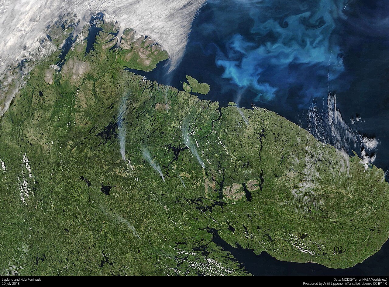
The Kola Peninsula is a peninsula in the extreme northwest of Russia, lying almost completely inside the Arctic Circle. It is bordered by the Barents Sea to the north and the White Sea to the east and southeast, and constitutes the bulk of Murmansk Oblast. The peninsula is one of the largest in Europe. It is the most industrially developed and urbanized region in northern Russia, largely due to its strategic position as the pre-eminent Soviet ice-free Atlantic coast and the discovery of vast apatite deposits in the 1920s.
- area
- about 100,000 square kilometers (39,000 sq mi)
- highest_point
- Yudychvumchorr (in the Khibiny Mountains)
- largest_settlement
- Murmansk (population roughly 270,000)
- population_1989
- 1,150,000
- population_2010
- 795,000
- climate
- Subarctic (Köppen Dfc) with tundra (ET) on nearby islands
- notable_feature
- Kola Superdeep Borehole, the deepest hole drilled into the Earth
Verified Timeline
Lore & Background
Humans first settled the north of the peninsula in the 7th–5th millennium BC, but the rest remained uninhabited until the 3rd millennium BC. By the 1st millennium CE only the Sámi people remained. In the 12th century, Russian Pomors discovered rich resources of game and fish, followed by tribute collectors from the Novgorod Republic, though no permanent settlements were established until the 15th century. The Soviet period (1917–1991) saw rapid population increase, forced collectivization of the Sámi, including forced relocation to Lovozero and other centralized settlements, and heavy industrialization and militarization, leading to major ecological damage. After the 1991 dissolution of the Soviet Union, the economy went into decline. The population fell from 1,150,000 in 1989 to 795,000 in 2010. The peninsula recovered somewhat in the early 21st century.
Reader's Guide
The Kola Peninsula's significance lies in its strategic and economic role, particularly during the Soviet era. Its ice-free Atlantic coast made it a pre-eminent naval and military base, while the discovery of apatite deposits in the 1920s drove heavy industrialization. The peninsula's population grew rapidly under Soviet rule, but the post-Soviet period brought economic decline and population loss. Ecologically, the peninsula suffered major damage from industrialization and militarization. Its climate is moderated by the North Atlantic Current, an extension of the Gulf Stream, leading to unusually high temperatures in winter but also high winds due to temperature variations between land and the Barents Sea. The region supports taiga in the south and tundra in the north, with important habitats for Atlantic salmon. The Kandalaksha Nature Reserve, established in 1932 to protect the population of common eider, is located in the Kandalaksha Gulf. The Kola Superdeep Borehole, the deepest hole drilled into the Earth, is located here.
Did You Know?
- The Kola Superdeep Borehole, located on the peninsula, is the deepest hole ever drilled into the Earth.
- The peninsula's northern coast remains ice-free in winter due to the warm waters of the North Atlantic Current.
- The Kandalaksha Nature Reserve was established in 1932 specifically to protect the population of common eider.
- The peninsula's population dropped from 1,150,000 in 1989 to 795,000 in 2010 following the dissolution of the Soviet Union.
- The Khibiny Mountains contain the peninsula's highest point, Yudychvumchorr, though Mount Chasnachorr (1,191 m) was formerly considered the highest.
Geography & Physical Landscape
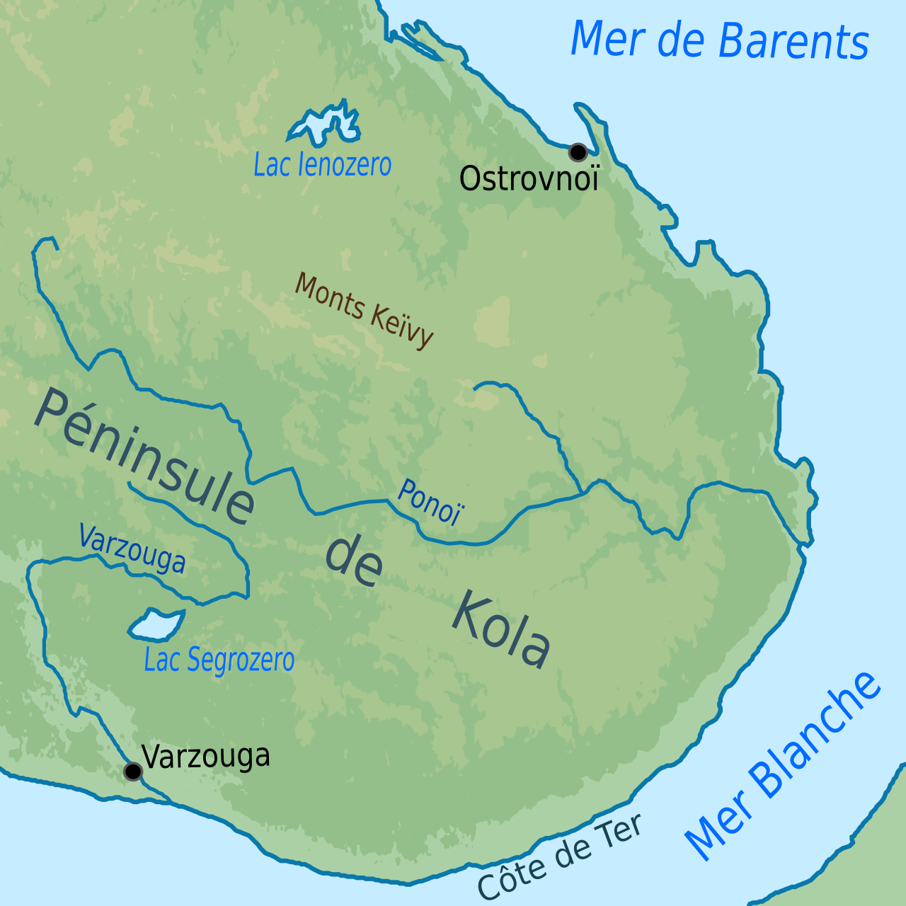
The Kola Peninsula covers an area of about 100,000 square kilometers in the far northwest corner of Russia, almost entirely enclosed within the Arctic Circle. Its northern coast faces the Barents Sea while the White Sea wraps around its eastern and southeastern edges. Geologically, the land sits on the northeastern edge of the Baltic Shield. The northern coast is steep and high, in contrast to the flat southern coast. Two prominent mountain ranges dominate the western portion: the Khibiny Mountains and the Lovozero Massif. The Khibiny contain the peninsula's highest point, Yudychvumchorr. Mount Chasnachorr, standing at 1,191 meters, had been formerly considered the highest point of the Khibiny. A drainage divide called the Keyvy lies in the central part. The mountainous reliefs of the Murman and Kandalaksha Coasts stretch from southeast to northwest, mirroring the peninsula's main orographic features. Vegetation shifts from taiga in the south to tundra in the north, where permafrost limits tree growth and leaves a landscape dominated by shrubs and grasses.
Human History & Settlement
The human story of the Kola Peninsula stretches back thousands of years. The northern reaches hosted inhabitants as early as the 7th–5th millennium BC, yet the broader interior lay empty until the 3rd millennium BC, when various peoples started to arrive from the south. By the 1st millennium CE, the Sámi were the sole remaining indigenous population. The arrival of Russian Pomors in the 12th century, drawn by rich resources of game and fish, marked a turning point. Tribute collectors from the Novgorod Republic soon followed, and the peninsula gradually became a part of the Novgorodian lands. However, the Novgorodians did not establish permanent settlements until the 15th century, and Russian migration continued for centuries afterward. The Soviet period (1917–1991) brought a dramatic population surge, though newcomers largely remained confined to urbanized territories along the sea coast and the railroads. The Sámi were subjected to forced collectivization, including forced relocation to Lovozero and other centralized settlements. After the 1991 dissolution of the Soviet Union, the economy went into decline and the population dropped from 1,150,000 in 1989 to 795,000 in 2010, before a modest recovery in the early 21st century.
Mineral Wealth & Industrial Legacy
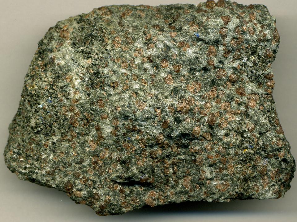
The last ice age removed the top sediment layer of the soil across the Kola Peninsula, exposing an extraordinary concentration of ores and minerals at the surface. The ground is rich in apatites and nephelines; copper, nickel, and iron ores; mica; kyanites; ceramic materials; rare-earth elements and non-ferrous ores. Deposits of granite, quartzite, and limestone are also abundant. Diatomaceous earth deposits are common near lakes and are used to produce insulation. The discovery of vast apatite deposits in the 1920s proved transformative. Combined with the peninsula's strategic value as the pre-eminent Soviet ice-free Atlantic coast, these resources drove heavy industrialization and militarization during the Soviet period. The city of Murmansk, with a population of roughly 270,000 residents, became the peninsula's most populous settlement. Yet the rapid development came at a steep environmental cost, leaving the region with major ecological damage. Despite the post-Soviet economic decline, the Kola remains the most industrially developed and urbanized region in northern Russia.
Climate, Ecology & Scientific Milestones
Despite its deep Arctic position, the Kola Peninsula enjoys a climate shaped by the North Atlantic Current, an extension of the Gulf Stream, which leads to unusually high temperatures in winter for the region. The waters of the Murman Coast remain warm enough to remain ice-free even in winter. However, the temperature gap between land and the Barents Sea generates high winds, with strong storm winds blowing for 80–120 days a year. Summers remain chilly, with the average July temperature of only 11 °C (52 °F), while January averages about −10 °C (14 °F). Record lows reach −50 °C (−58 °F) in the central parts. Precipitation is substantial, reaching 1,000 millimeters in the mountains. Ecologically, the peninsula supports a small variety of mammals, and its rivers are an important habitat for the Atlantic salmon. The Kandalaksha Nature Reserve, established in 1932 to protect the population of common eider, is located in the Kandalaksha Gulf. Perhaps the peninsula's most famous scientific landmark is the Kola Superdeep Borehole, the deepest hole drilled into the Earth.
Gallery
Frequently Asked Questions
What is the Kola Peninsula?
It is a large peninsula in Russia's far northwest, stretching almost entirely within the Arctic Circle. It makes up the bulk of Murmansk Oblast and ranks among Europe's biggest peninsulas.
Where exactly is the Kola Peninsula located?
It sits at Russia's extreme northwest corner, with the Barents Sea to its north and the White Sea along its eastern and southeastern edges. Its total area is roughly 100,000 square kilometers (about 39,000 square miles).
Why is the Kola Peninsula important?
During the Soviet era it provided a vital ice-free Atlantic coastline, giving the USSR year-round sea access. The 1920s discovery of enormous apatite deposits further turned it into the most industrialized and urbanized stretch of northern Russia.
What is the climate like on the Kola Peninsula?
The region falls under a subarctic climate (Köppen Dfc), while nearby offshore islands drop into true tundra conditions (ET). Winters are long and harsh, and the growing season is short.
What is the largest settlement on the Kola Peninsula?
Murmansk, home to roughly 270,000 people, is the peninsula's biggest city. Overall population peaked near 1.15 million in 1989 before falling to about 795,000 by 2010.
More in Peninsulas And Isthmuses 1-24
Spotted an error? Know more?
This is a living reference — every entry is fact-audited, and reader corrections feed straight into our audit queue. Suggest an edit · See this site's audit record