
Liaodong Peninsula
Strategic peninsula in Northeast China, site of major wars.

Gary Todd from Xinzheng, China · CC0
- Location
- Southern Liaoning province, Northeast China
- Bordering waters
- Yellow Sea, Liaodong Bay, Korea Bay
- Major cities
- Dalian, Yingkou, Anshan, Dandong
- Historical significance
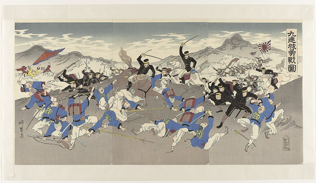
- Site of First Sino-Japanese War and Russo-Japanese War battles
- Notable feature
- Divides Liaodong Bay from Korea Bay
Lore & Background
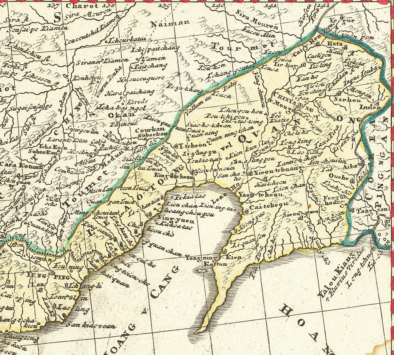
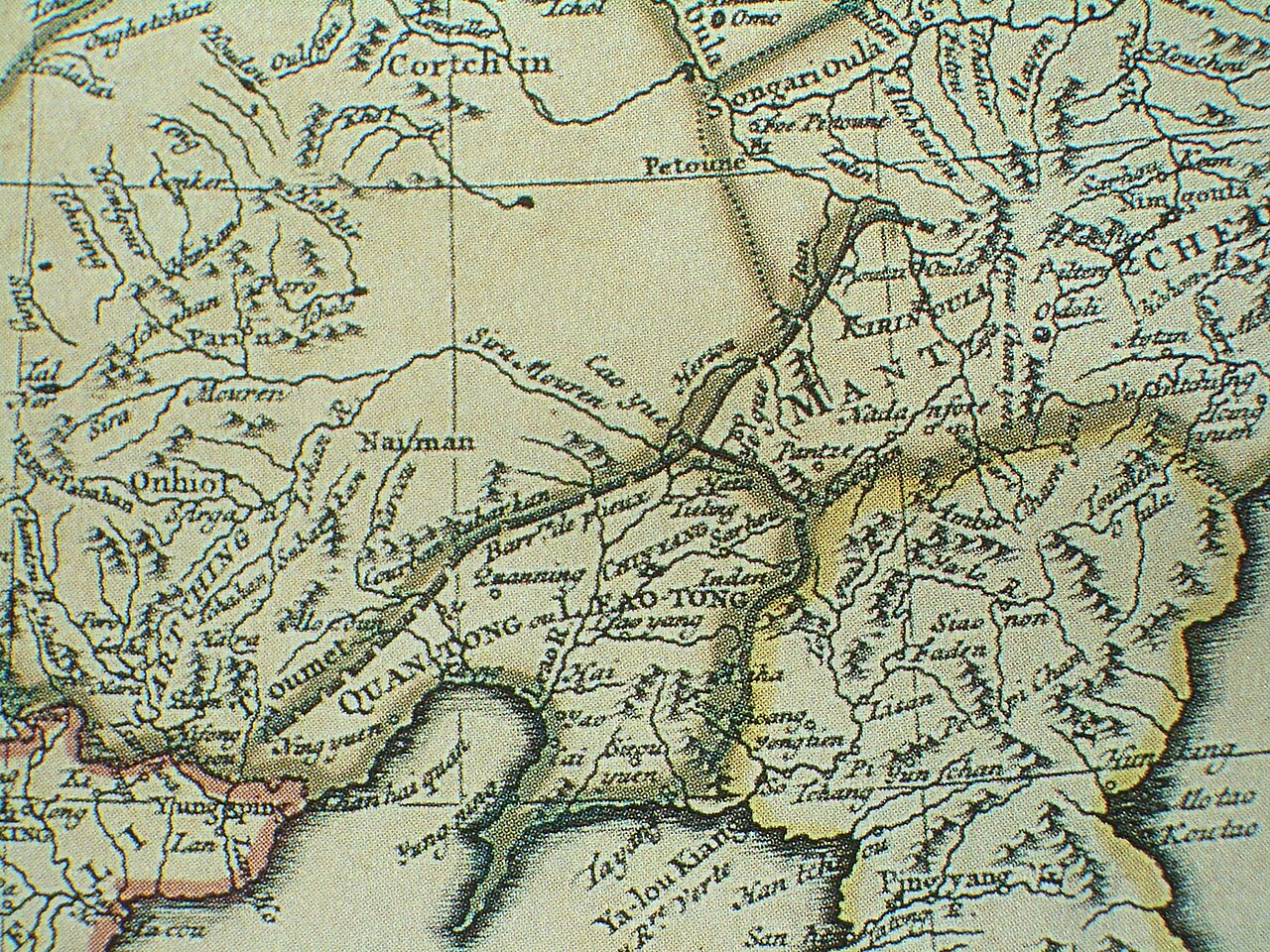
The Liaodong Peninsula lies on the northern shore of the Yellow Sea, dividing the Liaodong Bay to its west from the Korea Bay to its east. During the Han dynasty and subsequent periods, the region changed hands between various warlord states and dynasties, including Former Yan, Goguryeo, Tang, Balhae, Liao, Jin, Yuan, Ming, and Qing.
Reader's Guide
The Liaodong Peninsula's significance lies in its strategic location and its role in modern East Asian conflicts. Today, it remains part of Liaoning province under unified Chinese rule, encompassing the city of Dalian and parts of Yingkou, Anshan, and Dandong.
Did You Know?
- The Liaodong Peninsula divides the Liaodong Bay from the Korea Bay.
- The peninsula was the site of the Siege of Port Arthur during the Russo-Japanese War.
Defining the Liaodong Peninsula
The Liaodong Peninsula occupies a place in the geographic lexicon defined by a single, elegant Latin construction. The word peninsula itself derives from paene, meaning almost, and insula, meaning island — a landform that is nearly an island yet remains tethered to the mainland. This is precisely the condition the Liaodong Peninsula satisfies: a stretch of territory in China, situated in the Eastern Asian region, bordered predominantly by water while retaining its physical connection to the continental landmass. The surrounding waters, though not always formally named as a single continuous body, are conventionally understood to form a unified expanse around the landform. In this sense, the Liaodong Peninsula is neither quite an island nor fully continental; it exists in that liminal space the Latin language captured millennia ago. Its classification as a peninsula places it firmly within the family of landforms sharing this almost-island character, distinguishing it from fully enclosed islands while acknowledging its strong maritime identity.
Among China's Eastern Asian Peninsulas
Within the catalog of peninsulas attributed to China in the Eastern Asian region, the Liaodong Peninsula appears alongside four other named landforms: the Shandong Peninsula, the Dapeng Peninsula, the Leizhou Peninsula, and the Macau Peninsula. This grouping situates the Liaodong Peninsula as one of several distinct projections of Chinese territory into surrounding waters, each representing a separate instance of the peninsula principle — land bordered mostly by water yet connected to the mainland. The listing does not assign a particular size hierarchy or prominence ranking among these five; they are presented as co-equal entries under the same regional heading. What unites them is their shared classification as peninsulas within the broader Eastern Asian geographic framework, a region that also encompasses the Korean landmass, the numerous peninsulas of Japan's major islands, and the coastal projections of Southeast Asian nations. The Liaodong Peninsula's placement in this roster affirms its status as a recognized, named geographic feature of the Chinese coastline in the Eastern Asian context.
The Asian Peninsula Mosaic
The Liaodong Peninsula is one thread in a vast tapestry of peninsular landforms across Asia. In the same Eastern Asian region, the entire Korean landmass — encompassing both North and South Korea — is itself classified as a peninsula, bordered by the East Sea to the east and south and the Yellow Sea to the west and south, with the Korea Strait linking these waters. Japan contributes a remarkable array of named peninsulas across its major islands, from Shiretoko and Shakotan in Hokkaido to Noto-hanto and Bōsō-hanto in Honshū, and Satsuma-hanto and Ōsumi-hanto in Kyūshū. Further south, Vietnam's Camau Peninsula, Myanmar's Irawaddy Peninsula, Thailand's Sathing Phra Peninsula, and Cambodia's Sihanouk Peninsula extend the peninsular pattern across Southeast Asia. The Deccan Peninsula stands as the sole and largest geographical feature of the Indian subcontinent, while the Arabian Peninsula holds that distinction in Southwest Asia. Against this continental backdrop, the Liaodong Peninsula represents one of many expressions of the same fundamental landform principle across the Asian landmass.
Taxonomy and the Language of Peninsulas
The Liaodong Peninsula, like all peninsulas, belongs to a family of landform terms that the English language distinguishes with subtle precision. A peninsula may also be described as a headland, a cape, an island promontory, a bill, a point, or a spit, depending on its specific shape and prominence. A point, for instance, is generally understood as a tapering projection into water that is less prominent than a cape — a distinction that could apply to various features along the Liaodong Peninsula's coastline. The surrounding water is typically regarded as continuous, even if not given a single formal name. In English, the plural of peninsula is most commonly peninsulas, though the less frequent Latin-derived form peninsulae also appears in usage. The term's etymology — from Latin paene, meaning almost, and insula, meaning island — reminds us that the Liaodong Peninsula, like every other member of this class, occupies a threshold position: nearly an island, yet anchored to the mainland. This linguistic heritage underscores the landform's essential character as a place defined by its relationship to water.
Gallery

Frequently Asked Questions
What is the Liaodong Peninsula?
The Liaodong Peninsula is a landmass jutting into the sea in southern Liaoning province, Northeast China. It sits between the Daliao River mouth and the Yalu River mouth, effectively splitting Liaodong Bay from Korea Bay.
Where exactly is the Liaodong Peninsula located?
It occupies the southern tip of Liaoning province in Northeast China, bordered by the Yellow Sea, Liaodong Bay, and Korea Bay. Major cities along its coast include Dalian, Yingkou, Anshan, and Dandong.
Why is the Liaodong Peninsula so strategically important?
Its position between two bays makes it a natural chokepoint controlling sea access to the region. For centuries this has made it a flashpoint for military conflict, drawing the attention of multiple foreign powers.
What major wars were fought on the Liaodong Peninsula?
The peninsula served as a battleground during both the First Sino-Japanese War and the Russo-Japanese War. After the Sino-Japanese conflict, the territory was ceded to Japan and later administered as the Kwantung Leased Territory.
What makes the Liaodong Peninsula unique geographically?
It acts as a natural divider, separating Liaodong Bay to its west from Korea Bay to its east. The peninsula is flanked by the Yellow Sea and framed by the mouths of the Daliao and Yalu Rivers.
More in Peninsulas And Isthmuses 1-24
Related in Peninsulas And Isthmuses
Links follow this subject's own source article.
Spotted an error? Know more?
This is a living reference — every entry is fact-audited, and reader corrections feed straight into our audit queue. Suggest an edit · See this site's audit record