Middle Peninsula
Second of three large peninsulas on Virginia's Chesapeake Bay.

Central Intelligence Agency from Washington, D.C. · Public domain
The Middle Peninsula, also known as the Middle Neck, is the second of three large peninsulas on the western shore of the Chesapeake Bay in Virginia. Developed for tobacco plantations in the colonial era, by the 21st century it is known for its quiet rural life, vegetable truck-farming, and fishing industry.
- location
- Western shore of the Chesapeake Bay, Virginia
- counties
- Essex, Gloucester, King and Queen, King William, Mathews, Middlesex
- notable_towns
- West Point, Deltaville, Tappahannock, Urbanna
- recognized_tribes
- Pamunkey and Mattaponi Indian tribes
Lore & Background
The Middle Peninsula was developed for tobacco plantations during the colonial era, shaping its early economy and settlement patterns. In the 21st century, it is characterized by quiet rural life, vegetable truck-farming, and a fishing industry, with no cities and little industry. Among its towns, West Point hosts a pulp-and-paper mill, while the unincorporated community of Deltaville is a popular weekend boating destination for city-dwellers.
Reader's Guide
The Middle Peninsula's significance lies in its role as a historically agricultural region that has transitioned to a rural and recreational area in the 21st century. The George P. Primary highways U.S. Route 17 and U.S.
Did You Know?
- The Middle Peninsula is the second of three large peninsulas on the western shore of the Chesapeake Bay in Virginia.
- It is bounded by the Rappahannock River to the north and the York River to the south.
- The George P. Coleman Memorial Bridge connects Gloucester County to the Virginia Peninsula across the York River.
- The peninsula is home to two small land reservations for the state-recognized Pamunkey and Mattaponi Indian tribes.
Definition and Geographic Identity
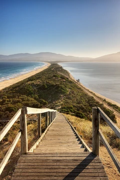
Derived from the Ancient Greek word isthmós, meaning 'neck,' an isthmus is a narrow ribbon of land that stitches together two larger landmasses which would otherwise be divided by water. The concept has a close cousin in the tombolo, which is essentially an isthmus formed by a sand spit or bar rather than solid terrain. It is important to distinguish an isthmus from a peninsula: while a peninsula juts out from a single larger landmass and is ringed by water on three sides, an isthmus serves as a bridge between two separate land areas. The sea-side counterpart is the strait, a narrow waterway linking two larger bodies of water. Interestingly, an isthmus can even host a canal that runs coast to coast, making it look like two peninsulas joined at the waist, but because canals are human-made rather than natural features, the classification remains that of an isthmus.
Major Isthmuses and Historic Significance
The globe is dotted with isthmuses that have shaped trade, warfare, and settlement for millennia. Among the most prominent today are the Karelian Isthmus in Europe, the Kra Isthmus in Mainland Southeast Asia, the Bird's Neck Isthmus in Western New Guinea, and the Isthmus of Perekop in Ukraine. In the Americas, the Isthmus of Tehuantepec and the Isthmus of Panama in Middle America stand out, while the Isthmus of Suez links North Africa to Western Asia. Two isthmuses carry particular historic weight: the Isthmus of Catanzaro in Italy and the Isthmus of Corinth in Greece, both of which have been focal points of ancient and medieval conflict and commerce. Beyond these famous examples, several major world cities—Auckland, Madison, Manila, and Seattle—sit directly on isthmuses, their urban development shaped by the narrow land corridors that separate surrounding waters.
Canals as Engineering Marvels Across Narrow Land
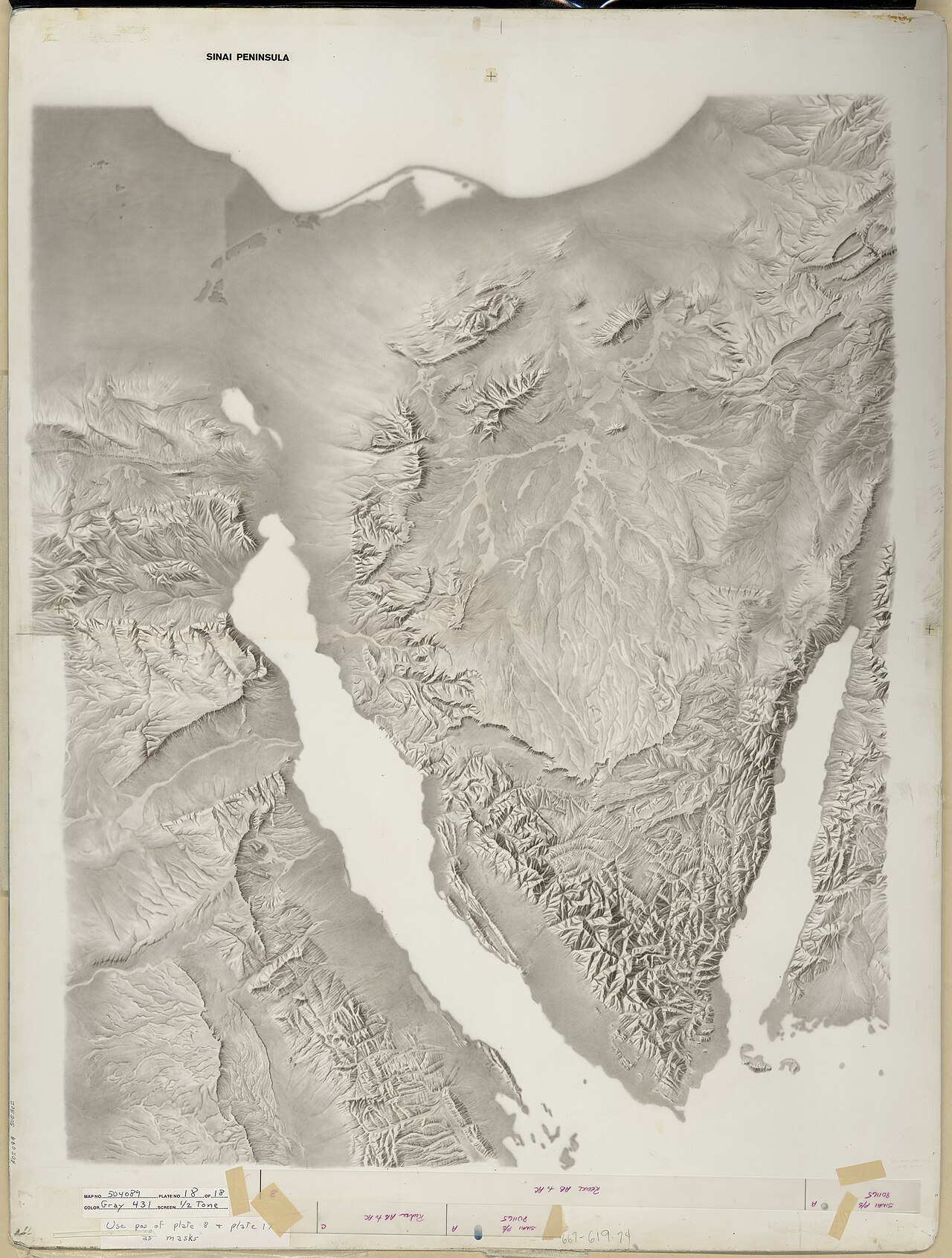
Because an isthmus is a narrow land barrier between two water bodies, it presents a natural opportunity for canal builders to carve a shortcut through the thinnest point of land. The Panama Canal, cutting across the Isthmus of Panama, links the Atlantic and Pacific Oceans and remains one of the most consequential waterways in global shipping. Similarly, the Suez Canal slices through the western edge of the Isthmus of Suez, formed by the Sinai Peninsula, connecting the Mediterranean Sea to the Red Sea and thereby joining the Atlantic and Indian Ocean systems. Smaller but equally clever examples include the Crinan Canal in Scotland, which bypasses the isthmus between Loch Crinan and Loch Gilp to link the Kintyre peninsula with the mainland. In North America, the Welland Canal in the Niagara Peninsula connects Lake Ontario to Lake Erie, and the Lake Washington Ship Canal threads through Seattle, joining Puget Sound to Lake Washington via Lake Union. Each of these projects exploits the isthmus's narrowness to save vast distances of open-water travel.
Isthmus Versus Land Bridge in Deep Time
While the word isthmus applies to any narrow land connection between two larger areas, the more specific term land bridge is reserved for connections that link Earth's major continental landmasses. In biogeology, land bridges hold special significance because they once allowed the migration of people, animals, and plants between continents that are now separated by oceans. Two well-known examples are Beringia, the vanished land connection between Asia and North America, and Doggerland, the submerged plain that once joined Britain to continental Europe. These ancient corridors shaped the distribution of species and the peopling of new continents. The distinction matters: every land bridge is technically an isthmus, but not every isthmus qualifies as a land bridge. The broader isthmus category includes local features like the Kra Isthmus or the Isthmus of Perekop, whereas land bridges operate on a continental scale and often exist only in the geological past, preserved in sediment records and the genetic traces left in modern fauna and flora.
Gallery
Frequently Asked Questions
Who is Middle Peninsula?
Middle Peninsula is the second of three major landmasses extending into the Chesapeake Bay from Virginia's western shore, occasionally nicknamed the Middle Neck. It stretches between the Rappahannock River to the north and the York River to the south, encompassing six Virginia counties.
What are Middle Peninsula's powers or role?
During the colonial era, Middle Peninsula functioned as a major tobacco-growing region. In the modern day its economic identity has shifted toward vegetable truck-farming, a commercial fishing industry, and a generally quiet rural way of life.
How does Middle Peninsula's story end?
Middle Peninsula's arc is still unfolding rather than concluded; as of the 2020 census roughly 93,000 people call its six counties home. Its present-day chapters are anchored by small towns such as West Point, Deltaville, Tappahannock, and Urbanna, linked by U.S. Routes 17 and 360.
Why is Middle Peninsula important?
It forms the central link in the trio of Chesapeake Bay peninsulas and anchors a corridor of six counties—Essex, Gloucester, King and Queen, King William, Mathews, and Middlesex. The region is also home to the federally recognized Pamunkey and Mattaponi Indian tribes, giving it deep cultural and historical weight.
Who are Middle Peninsula's key allies or neighboring figures?
To its north lies the Northern Neck, and across the water to the east sits the Eastern Shore, while the Pamunkey and Mattaponi tribes serve as long-standing indigenous partners in the region's history. U.S. Route 17 (the Tidewater Trail) and U.S. Route 360 (Northumberland Highway) tie Middle Peninsula into the wider Tidewater network.
More in Peninsulas And Isthmuses 1-24
Related in Peninsulas And Isthmuses
Links follow this subject's own source article.
Spotted an error? Know more?
This is a living reference — every entry is fact-audited, and reader corrections feed straight into our audit queue. Suggest an edit · See this site's audit record